本文
Public Transport Guide Map (Kamiya-cho and Hatcho-bori areas)
As a part of their promotion of public transport use, the Central Hiroshima City Transportation Measures Executive Committee* (Secretariat: The City of Hiroshima) has created a Public Transport Guide Map of the Kamiya-cho and Hatcho-bori areas centered around Aioi-dori Street.
*The Central Hiroshima City Transportation Measures Executive Committee was established on April 25, 1996. Since then, the Committee has worked to improve traffic conditions in the center of the city and create a comfortable and appealing city center through the implementation of initiatives which are carried out every day continuously with the help of local organizations and other related organizations. Initiatives include preventing illegal parking, measures for handling cargo, and promotion of public transport use.
There are many different modes of public transport available in the Kamiya-cho and Hatcho-bori areas, including buses.
With many different bus companies offering routes far and wide, there are lots of different bus stops in the area, causing confusion for those using these services.
As such, we have created a map that lists the types of buses and their destinations for every bus stop to help make using the buses easier for visitors. You can find this map at large commercial facilities in the Kamiya-cho and Hatcho-bori areas, as well as in other locations, such as tourist information centers. We hope you’ll find this map helpful!
Please note that this map is available in Japanese only. Click here for information about where tourist maps in multiple languages are available.
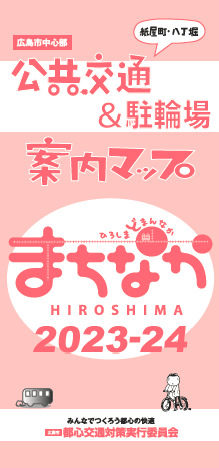
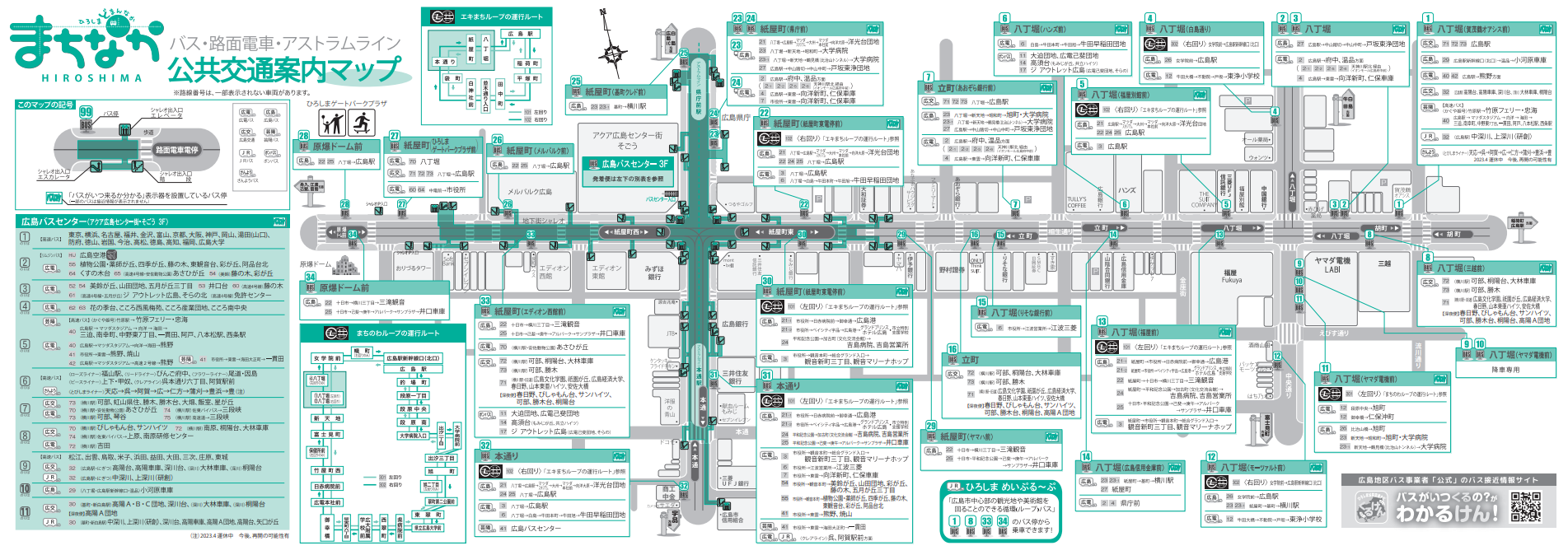
- Download the Public Transport Map in Japanese (Bus, Streetcar, Astram Tram Line)
Inquiries about this page
Public Transportation Policy Department, Roads and Transportation Bureau
1-6-34 Kokutaiji-machi, Naka-ku, Hiroshima
Tel: 082-504-2383 // Fax: 082-504-2426
Email: koutsuseisakubu@city.hiroshima.lg.jp


